Multiparty Monitoring
The Collaborative Forest Landscape Restoration (CFLR) program is a cooperative effort to increase the rate of restoration on our National Forests. Multiparty monitoring is a key component of the CFLR program and our work is designed to address how well CFLR projects are meeting their forest restoration and wildlife habitat conservation goals.
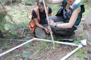
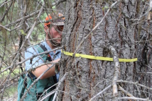
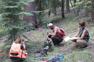
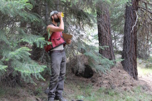
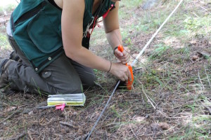
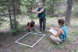
BMFP partners with Oregon State University and the Malheur National Forest to monitor the effects of CFLRP-funded upland forest restoration treatments on forest resilience characteristics, including modeled fire behavior, surface fuel loadings, and vegetation structure, function and composition. This monitoring effort—the Forest Vegetation and Fuels (FVF) program—will begin its third year in the spring of 2016. The FVF program uses plot-based field measurements to compare changes both before and after restoration treatments and between treated and untreated forest stands. The FVF program is currently monitoring 259 permanent plots in 33 randomly selected treatment units and untreated stands in five different CFLRP project areas. The FVF program will expand monitoring to include approximately 500 plots in 100 different forest stands in ten different planning areas by 2018.
Landscape Pattern Monitoring Portal
The Forest Service, the Southern Blues Collaborative Forest Landscape Restoration Project, and the Blue Mountains Forest Partners worked together to build a web application that would help map and monitor changes in land cover and landscape pattern as a result of management activities and disturbances. One of the most important considerations for this work was that it should be inclusive of all agencies and organizations that collaboratively manage the landscape; as such, the workflow needed to be developed in an accessible location, without the use of proprietary data, without the use of costly software licenses, and in a manner that would be accessible to non-experts of remote sensing technologies. The result was the Landscape Pattern Monitoring Portal, an externally-facing web application that assists users in collecting training data, mapping land cover for two points in time, and computing landscape pattern metrics all through the use of free and open-source software. The portal is now available at this link: https://ecoshare.info/landscapeportal/
2023 Monitoring Workshop Materials:
2023 Monitoring Workshop Presentations
Canyon Creek Wildfire Monitoring:
The Blue Mountains Forest Partners has worked with the United States Forest Service and the Rocky Mountain Research Station to develop a monitoring project involving the 2016 Canyon Creek Wildfire, post-fire logging, and wildlife persistence. You can learn more about this work below.
Canyon Creek Complex 2019 progress report final
2019 Monitoring Workshop Materials:
Too hot, too cold, or just right: Can wildfire restore mixed-conifer forests?
Regeneration following fire in the Blue Mountains
Using LiDAR to Characterize Prescribed Fire and Thinning Disturbance
Evolution of Silvicultural Prescriptions on the Malheur National Forest
Monitoring implementation of restoration treatments across the Malheur National Forest
Monitoring upland silvicultural treatments in the southern Blues CFLRP area
How do individual trees respond to thinning and wildfire?
You can download our monitoring plan here:
You can download our monitoring field manual here:
View a map showing CFLRP monitoring activities here:
CFLRP annual monitoring reports are available here:
Collaborative Forest Landscape Restoration Program Report to Congress (2020)
Southern Blues WHWO CFLR 2019 progress report_final

